

Back-to-back rounds of storms are making their way across the Northeast, bringing much-needed relief from the extreme heat that has gripped the region.
The first wave began late Wednesday afternoon, June 25, as a strong weather front moved through, triggering thunderstorms and lightning in several areas. A second round is expected to arrive on Thursday, June 26.
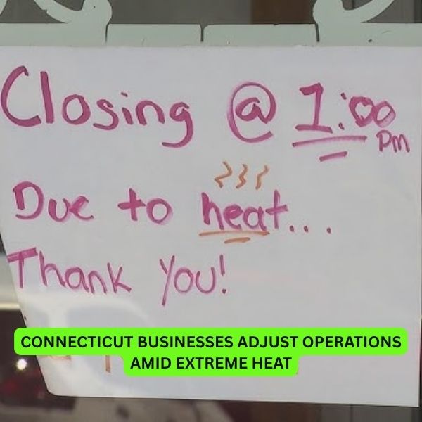
According to the National Weather Service, temperatures will drop significantly once the front passes. Cities that saw highs near 100 degrees earlier this week—such as those in New York, New Jersey, Pennsylvania, Connecticut, and Massachusetts—can expect a dramatic cool-down into the 70s and 80s starting Thursday.
Farther south, including Washington, D.C., Maryland, and Virginia, temperatures are expected to moderate beginning Friday.
While the strength and timing of the storms will vary, forecasters say the most intense activity will likely coincide with the high humidity levels along the I-95 corridor.
This shift in weather comes after a sudden burst of heat followed weeks of gray skies and rain. Though the sunshine was a welcome break, the soaring temperatures pushed many to seek relief—something this week’s storms may finally deliver.


Leave a Reply