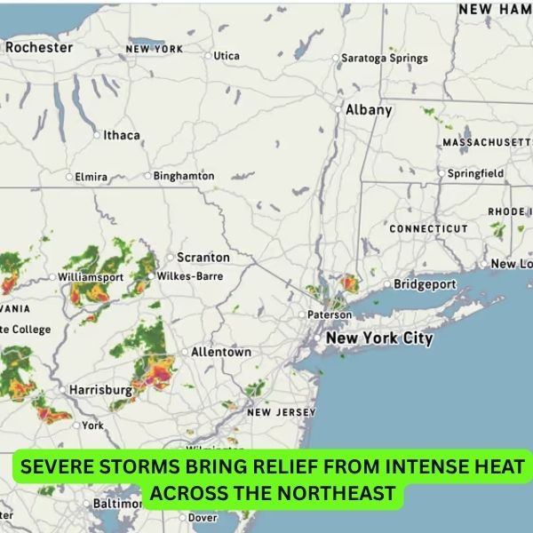
A series of strong storms is moving through the Northeast, offering much-needed relief after days of scorching heat.
The first wave of storms began late Wednesday, June 25, as a powerful cold front pushed through the region. Thunderstorms, lightning, and heavy rain were reported in several areas, with the second round expected to hit on Thursday, June 26.
According to the National Weather Service, temperatures are set to drop significantly once the front passes. Areas that saw triple-digit heat earlier this week—including New York, New Jersey, Pennsylvania, Connecticut, and Massachusetts—could see highs fall to the 70s and 80s by Thursday.
Farther south, states like Maryland, Virginia, and the District of Columbia are expected to see cooler conditions by Friday.
Though the exact timing and strength of the storms will vary, humidity along the I-95 corridor is expected to fuel intense thunderstorms, especially during peak afternoon hours.
This weather shift marks a dramatic turn after a short but brutal heatwave that followed weeks of gloomy, rainy conditions. While sunny skies offered a welcome break, the sudden spike in temperatures left many sweltering—and now, this storm system could finally restore some seasonal balance.


Leave a Reply